Digital tool allows public to see urban tree canopy coverage in neighborhoods
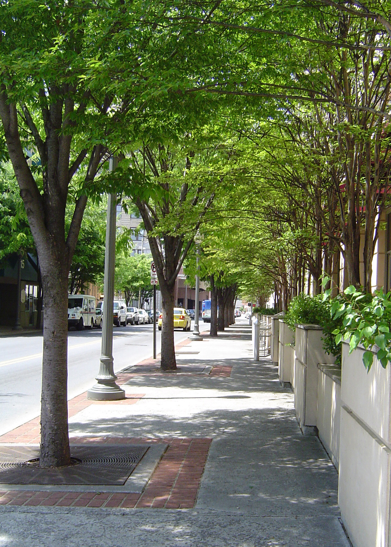
Each autumn, we admire trees for their flame and russet beauty. But the trees surrounding us provide valuable services in all seasons by enhancing property values, providing wildlife habitat, improving water quality, saving energy, lowering city summer temperatures, and reducing air pollution.
Now residents and policymakers from 26 communities across Virginia can use a specially developed digital tool to view and access the tree canopy covering their own city or neighborhood. Through a partnership with the Virginia Department of Forestry, faculty members at the Virginia Geospatial Extension Program based in Virginia Tech’s College of Natural Resources and Environment have developed the Urban Tree Canopy Mapper.
The user-friendly tool allows both professionals and average citizens to zoom in for views and create custom maps of the urban tree canopy in their communities. This critically important tool can be useful and practical for everyone.
“It is imperative that we engage local community members and support their efforts to better understand the current extent of their urban forests,” said Associate Professor and Geospatial Extension Specialist John McGee. “This information is an important first step to facilitate local and state efforts to manage and potentially grow urban forests, thereby increasing the benefits associated with urban trees.”
Expanding the urban tree canopy results in many benefits — improvements in water quality, decreases in air pollution, decreases in heating and cooling costs, and an increased quality of life for residents. More and more cities and towns are developing plans for increasing and maintaining a quality tree canopy to provide environmental, economic, and social benefits.
McGee has been working with fellow Virginia Tech faculty members Eric Wiseman, Susan Day, and Randy Wynne, in partnership with the Conservation Management Institute, to develop the mapper. To date, the researchers have mapped the tree canopy for 26 Virginia communities, from Arlington to Virginia Beach to Abingdon in southwestern Virginia.
The localities are developing management plans to maintain or increase their urban tree canopy coverage, despite anticipated development growth. The city of Winchester, for example, has set a goal of increasing its tree canopy from 27 to 35 percent, which will result in an increase of 475 acres of canopy coverage. The trees will produce millions of dollars in ecosystem and savings benefits annually for the city once they reach maturity.
Those who use the Urban Tree Canopy Mapper can toggle among different map options, including high-resolution aerial photography, topographic maps, and road networks; they can view their own neighborhoods or examine the town as a whole. In addition, the mapper also provides analytical tools to help people better understand the canopy coverage. For instance, they can delineate an area, such as their neighborhood, and find out its percentage of tree canopy coverage. The American Forests conservation organization recommends an average of 40 percent canopy coverage in municipalities east of the Mississippi.
“The mapper empowers communities to advocate and plan for their urban forests with a sophisticated yet highly accessible Web tool,” said Wiseman, associate professor and Extension specialist in urban forestry. “It is a powerful tool for educating both citizens and policy makers about the benefits of urban tree canopy.”
“The mapper makes it possible for citizens to easily view their neighborhood or community and see where the tree canopy is covering roads and homes, as well as where there is space for additional tree plantings,” said Barbara White, urban forester for the Virginia Department of Forestry. “By using this tool, targeted tree planting can increase the benefits of essential tree canopy in the areas that are lacking.”
“This project could not have been completed without the many partners who see the value of what we are working for,” White continued. “The Chesapeake Bay Program, U.S. Forest Service, National Oceanic and Atmospheric Administration, Virginia Department of Conservation and Recreation, and Virginia Coastal Zone Management Program all contributed project funding.”